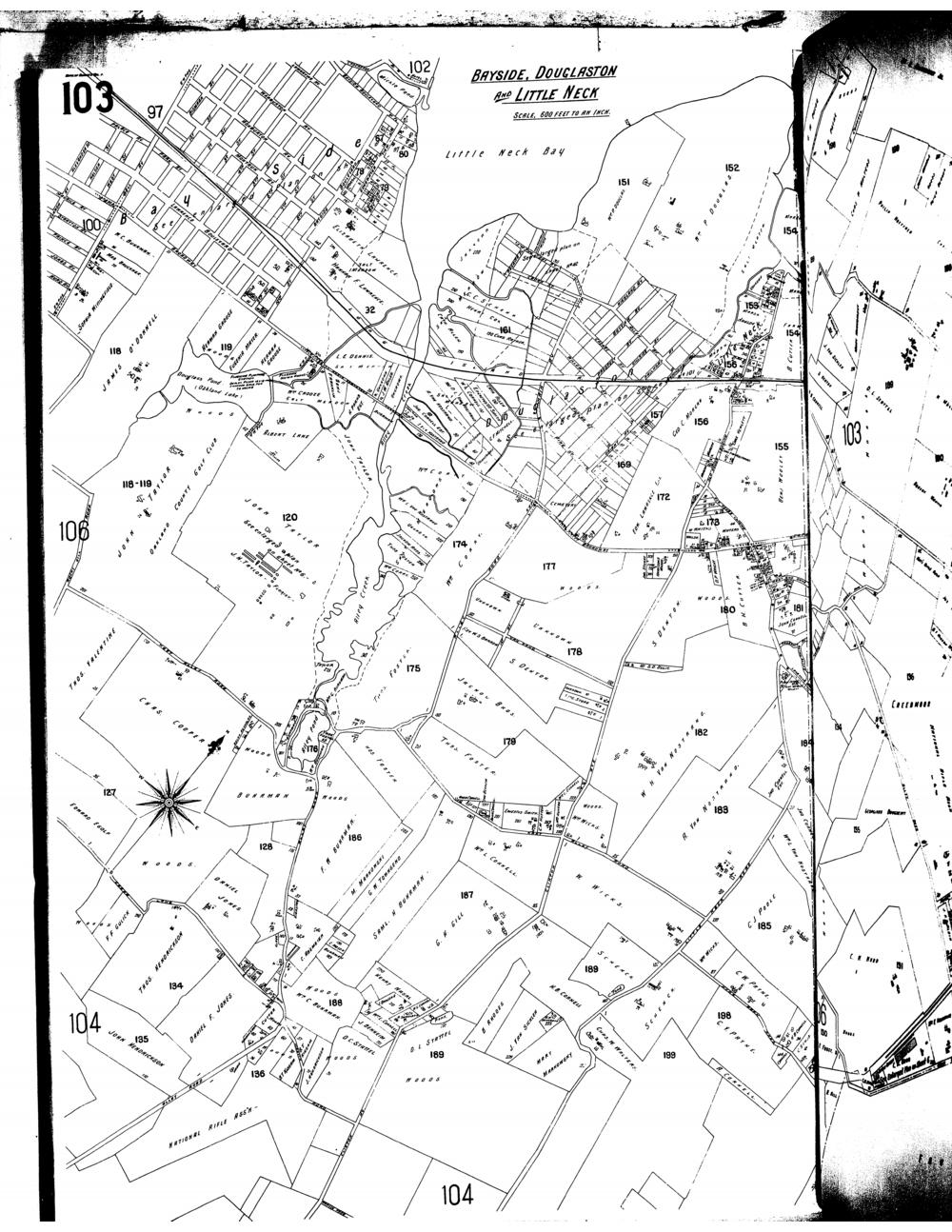
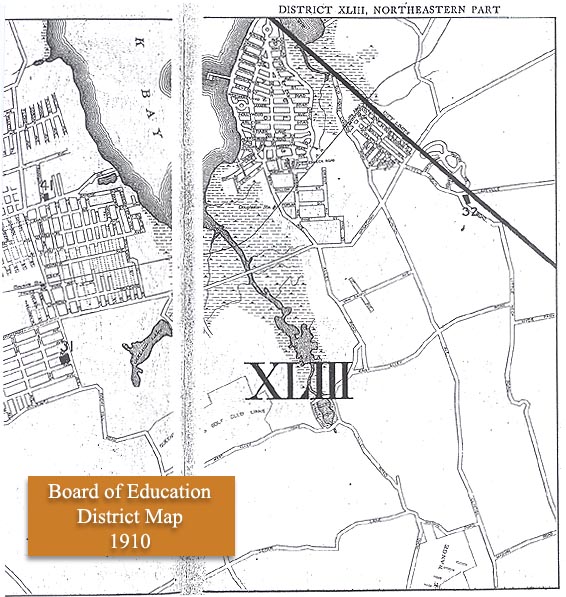
Sanborn Map of Bayside, Douglaston and Little Neck, 1898-1903 (cont.)
(Acrobat PDF format)
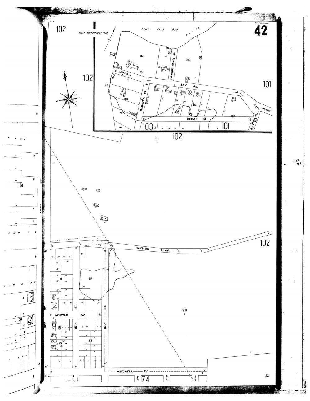
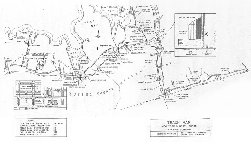
Sanborn Map of Bayside, Douglaston and Little Neck, 1898-1903 (cont.)
(Acrobat PDF format)
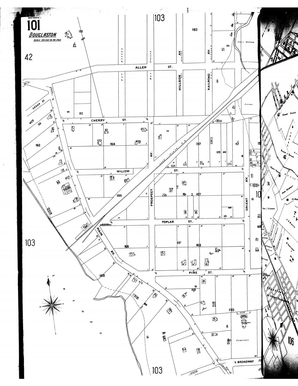
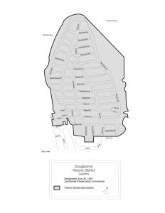
Sanborn Map of Bayside, Douglaston and Little Neck, 1898-1903 (cont.)
(Acrobat PDF format)